


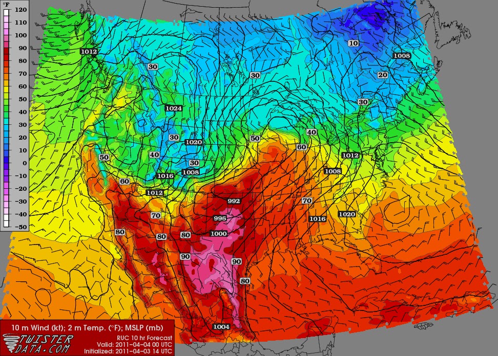
Today looks to be a very warm to hot day across the Plains as south winds continue to surge moisture north. This will interact with a sharp cold front that will quickly dive east/southeast tonight into tomorrow. The limiting factor of today's severe weather will be a warm layer of air aloft above the surface called a CAP. Looking at the soundings this morning, it is very likely there will be very little convection prior 0z (7pm) from Kansas south to Texas along the dryline. Storms will likely start to form from Iowa to Kansas after 7pm as the cold front catches up to the dryline as the linear forcing can lift the air over the cap.
Hot Temperatures!! Areas in pink are over 90 degrees on April 3rd!

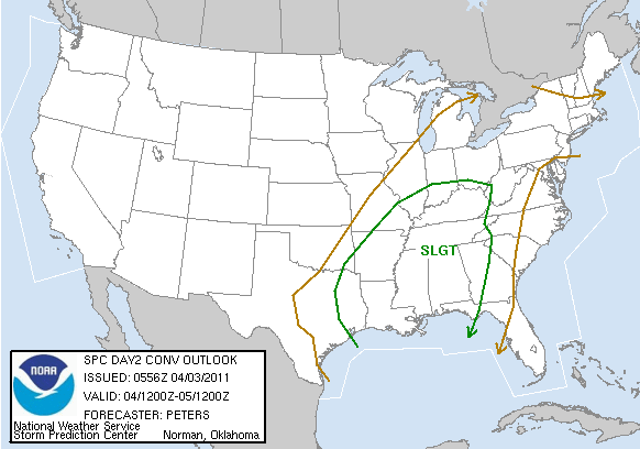
Eventually the cold front takes over and storms will explode up from Illinois south to Texas in more of a linear fashion. This broken line of storms will have the risk of very large hail and damaging winds as it heads southeast towards the Mississippi Valley by Monday afternoon. Here is the SPC outlooks for Today and Tomorrow.

No comments:
Post a Comment